Home     Daily Blog     Galleries     Maps     Contact

Showing posts with label waterfall. Show all posts

Sunday, May 22, 2022

Elrod Falls

Elrod Falls

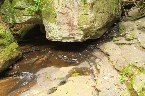
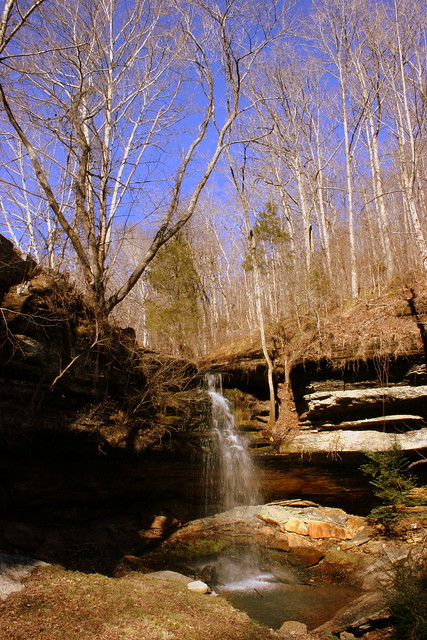
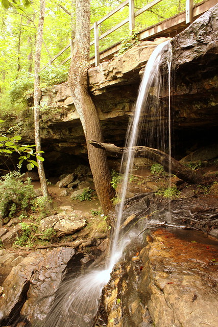
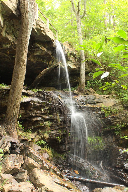
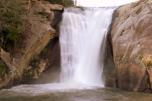
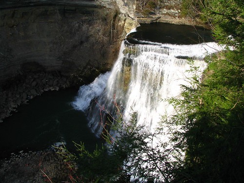
Elrod Falls is a waterfall open to the public in Hancock County, TN. From the town of Sneedville, it's about 7 miles south along highway TN31, then west on Elrod Falls rd. From there, follow a couple of painted rocks which point the way to the parking area. Then, it's about 500 feet up a trail which parallels the stream at the base of the falls. On this day, the waterfall is dryer than normal, as this area had a drought going into Oct. 2019, but it did rain the day before.

GPS: 36.433980,-83.245350

This waterfall is about 50 feet tall, and empties into a small but surprisingly deep pool at the bottom. From there it cascades over several more rocks before heading downstream.

Wednesday, October 13, 2021

Union Camp Falls

Union Camp Falls

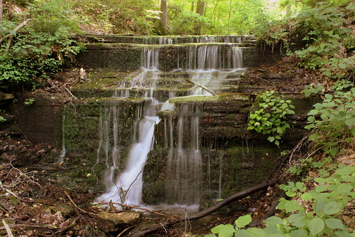
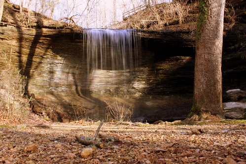
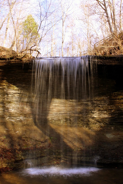
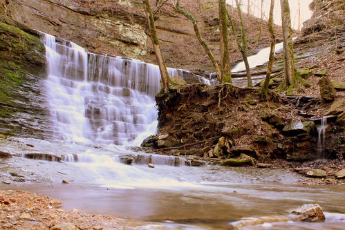
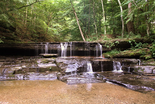
Union Camp Falls is a small waterfall in a beautiful setting in Macon County, TN. An ankle-deep stream by the name Long Fork tumbles about 8 feet over the rocks here. The area got it's name because apparently some union soldiers camped here during the Civil War.

To get here, take highway 262 (also known as Union Camp Rd.) southeast away from Lafayette. After a few miles, on your left will be a road that slopes down from the highway for Union Missionary Baptist Church. Drive down this road past the church for a few hundred feet and you'll see a spot where a very small stream flows over the road. Before you cross that, to your right will be a place for a car or two to pull over.

UPDATE: Someone left this comment on my blog about this waterfall: Keep off private property .. Please remove this!!!

Here is my response: Perhaps this is private property, but if so, you have a bigger problem than me. The Tennessee Department of Tourism listed this as stop #43 on the Ring of Fire Byway as part of their Tennessee Trails and Byways program. See it here: tntrailsandbyways.com/trail/11/ring-of-fire/?p=3

Friday, January 22, 2021

Desoto Falls

Desoto Falls

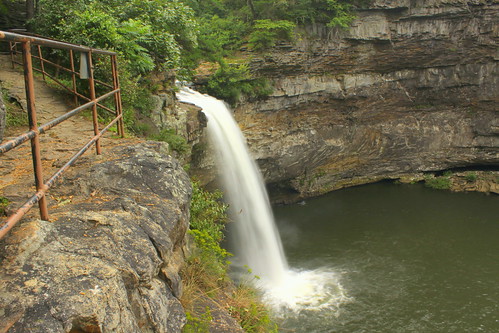
A fork of the Little River plunges 104 feet into the pool below at one of Lookout Mountain's most accesible waterfalls. Desoto Falls is named after Spanish explorer Hernando de Soto. De Soto's exploration travelled through the area, likely south of here, but according to legend, some artifacts were found near the falls. According to more folklore, it is suggested that caves in the steep bluff below the falls were part of a fort built by Welsh explorers in 1170, and while most archaeologists and historians find no evidence of this, it's tough to prove something didn't happen that long ago. Today, the waterfall is part of Desoto State Park, which contains several waterfalls. Upper Desoto Falls is just a few feet from here, and an old 1920's hydroelectric dam is just upstream from that. A short paved path leads to the overlook where you can get this view of the falls. Unless you know someone who lives across the canyon, this is the best view most people can get of these falls.

Tuesday, May 19, 2020

Easy to see Waterfalls near Middle Tennessee - Narrated Slideshow


The Middle Tennessee area is full of many great waterfalls, but many of them require a hike. The waterfalls featured in this video are easy to see. Some can be seen from the car, or with as little as a 100 foot walk. The longer walks on here are still less than a mile on a paved walk. Most of the waterfalls seen here are in Middle Tennessee, but some are in East TN or neighboring states.

If you want to take a closer look at my waterfall pictures, look at this link:
https://www.flickr.com/...

All photos were taken by SeeMidTN\Brent M.

Here is the list:
Fall Creek Falls
West Meade Falls
Marrowbone Lake Falls
Old Stone Fort State Park
Rock Island State Park
Ledford Mill Falls & Wetumpka Falls
Falls Mill (in Franklin County)
Cookeville City Lake Falls
Waterloo Falls
Roaring River Falls (aka Hardy-Reagan Falls)
Rutledge Falls
Union Camp Falls
Hickman Springs
Trace Creek Falls
Jackson Falls and Fall Hollow along the Natchez Trace Parkway
Foster Falls
Ozone Falls
Elrod Falls
Huntsville Town Spring
KY: Cumberland Falls
AL: DeSoto Falls
AL: Little River Canyon
NC: Waterfalls near Highlands, including Bridal Veil Falls
NC: Elk Falls

Sunday, April 26, 2020

Elrod Falls with video

Elrod Falls

Elrod Falls is a waterfall open to the public in Hancock County, TN. From the town of Sneedville, it's about 7 miles south along highway TN31, then west on Elrod Falls rd. From there, follow a couple of painted rocks which point the way to the parking area. Then, it's about 500 feet up a trail which parallels the stream at the base of the falls. On this day, the waterfall is dryer than normal, as this area had a drought going into Oct. 2019, but it did rain the day before.

GPS: 36.433980,-83.245350

This waterfall is about 50 feet tall, and empties into a small but surprisingly deep pool at the bottom. From there it cascades over several more rocks before heading downstream.


Wednesday, October 16, 2019

Video: Motch Falls waterfall in Claiborne County, East Tennessee


Here is a waterfall in East Tennessee which is easy to walk to, but you have to drive into the middle of nowhere to find it.

I started in Middlesboro, KY and drove highway 186 west from town. After it crosses the Tennessee border, it becomes highway TN132. About two to three miles south of the state line, you'll be able to see the waterfall on the east side of the road and there will be a gravel parking pull-off.

Friday, June 30, 2017

Azalea Cascade - DeSoto State Park

Azalea Cascade - DeSoto State Park

Desoto State Park is located atop Lookout Mountain in DeKalb County, AL. On this summer day, it was a small trickle. Water appears to flow out of the middle of a rock down some stones into a small stream. The cascade is easily accessible as the destination at the end of the Talmadge Butler Boardwalk Trail.

Saturday, May 13, 2017

Cold Water Falls - Tuscumbia, AL

Cold Water Falls - Tuscumbia, AL

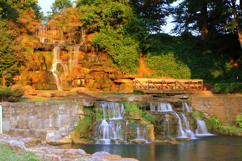
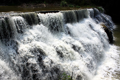
Cold Water Falls is the world's largest "man-made Natural Stone Waterfall" to be known in existence. (Personally, I don't know what the difference in a natural stone waterfall and other man-made waterfalls might be.) The waterfall is 80 feet wide and 48 feet tall. It was constructed over 120 days using 1,780 tons of local Colbert County Sandstone with the largest stone weighing 77,000 pounds. Every day 4,320,000 gallons of water flows over the falls.

This waterfall is located at Tuscumbia's Spring Park and the Big Spring would be the highlight on this spot if not for the waterfall. Michael Dickson of Tennessee settled here ca. 1817 and in 1819 the town was laid out centered near the Big Spring. Tuscumbia was originally named Ococoposo, which is Chickasaw for Cold Water. Spring Park was established in 1919. To the right of this spot, there is a fountain in the lake with 50+ jets which performs a weekend show at dusk. Spring park also has a small railroad, carousel and kiddie roller coaster.

Monday, May 1, 2017

Upper Wetumpka Falls - near Ledford Mill

Wetumpka Falls - near Ledford Mill

Recently, I posted some photos of Ledford Mill and the waterfalls on their property. If you ever visit them, make sure to also see Wetumpka Falls which is only 1/4 mile away. The city of Tullahoma is only three miles away but technically this is in Moore County and Lynchburg.

Along Shipman Creek Road is a small paved pull-off which can hold 3 or 4 cars and you can see the waterfall from the creek.

There are two parts to the falls, the smaller upper part is a five foot tall tiered section and the main waterfall is a 15 foot plunge into a tiny slot canyon. I've been told that there used to be a moonshine still by the upper part several decades ago, so you might see someone call this Moonshine Falls.

Getting to the top is done via a short but steep and muddy trail up the right side of the stream. getting up close to the main plunge is easy as you can get as close as you want as long as your willing to walk up the stream.

I enjoyed this waterfall but it was not without its costs. I brought with me two cameras, my Canon EOS 50D for these still photographs and a Canon Powershot SX40 for HD video. As I was setting up for one of these photos, the SX40 fell out of my pocket into the stream and it was completely soaked, but only for a few seconds. I didn't get home for several hours, but I had that camera dry in a bag of rice for a couple of days but it still wouldn't power on. :( If you'd like to see the final video I ever made with that camera, which is of Wetumpka Falls, look here: www.youtube.com/watch?v=roV9EWrplSY

Wednesday, April 19, 2017

Little River Falls (from the upstream observation deck)

Little River Falls (from the upstream observation deck)

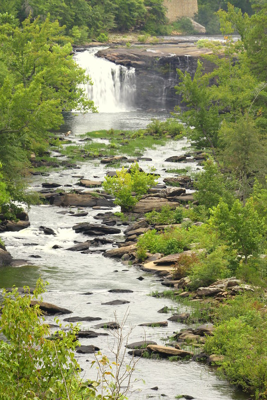
Little River Falls is the highlight of the Little River Canyon National Preserve atop Lookout Mountain in northeast Alabama. The Little River flows almost its entire length atop Lookout Mountain. Here, the water drops 45 feet.

The most common way to view the waterfall is at the main entrance off of highway AL35 southwest of Ft. Payne. The highway bridge crosses the river not too far behind the waterfall. From the parking lot, it's less than a five minute stroll along a boradwal to get to the most popular view. On my previous visit in 2006, people would go beyond the end of the boardwalk and walk all around the top of the falls, but signs say this is now prohibited.

There's a second view of the falls from an overlook a little over 1000 feet downstream. This view is at an observation deck accessible from the Little River Canyon Rim Parkway (AL176).

Saturday, March 25, 2017

Hickman Springs Waterfall

Hickman Springs Waterfall C Wide angle view near base

Here's an easily accessible waterfall that I drove near 3 or 4 times without getting right up to it. You can see it from the street, Hickman Springs Rd.

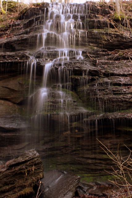
The waterfall comes from a nearly flat area at the top, and then tumbles 20 feet to the base, where the water continues to trickle down the terrain.

Driving here is easy. Parking isn't. All the area at top is private property. There's a little space to pull over if you're driving back down the street.

Tuesday, December 27, 2016

Waterfalls of Fall Hollow in Lewis County

Fall Hollow photo #4

When travelling the Natchez Trace Parkway through Lewis County, TN, there is a small parking area for a small scenic stop known simply as Fall Hollow.

From the parking lot, it's a 100 foot walk along a paved sidewalk to a wooden observation deck. From here, you can see the upper half of the Fall Hollow Waterfall, where you can see the water tumble about 30 feet. There is a second stream right next to it that tumbles just as far and they meet just a few feet below.

Fall Hollow photo #3

The official paved trail stops here, but in another 5 minutes of steep hiking, there is much more to see. As you leave the overlook, and walk along the top, unless it's dry season you'll see another 30 foot waterfall of side drainage. From here you can make a steep decline to the area below and if you make a left, you get to a small bridge crossing the tiny trickle and look up at this smaller falls.

Still at the base but off in the other direction, you see what I think is the best site here. The two streams that we saw merge from the observation deck now free falls 20-25 feet into a small pool below. Behind this is a small grotto where you can walk behind the falls.

Fall Hollow photo #1

Tuesday, September 20, 2016

Indian Falls - DeSoto State Park

Indian Falls - DeSoto State Park

Inside DeSoto State Park atop Lookout Mountain in Alabama are several smaller waterfalls. The easiest one to get to is Indian Falls which is about 1000 feet from the parking lot of the Talmadge Butler Boardwalk Trail (but across the street). The trail and a small footbridge crosses over the top of the falls.

Indian Falls - DeSoto State Park

Thursday, August 18, 2016

Upper DeSoto Falls & Dam

Upper DeSoto Falls & Dam

Located atop Lookout Mountain near Mentone, AL is the easily accessible DeSoto Falls.

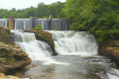
Downstream from here is the main DeSoto Falls which plunges 104 feet. The upper falls is just a few feet upstream. Beyond that at the top of the photo is a 1920s hydroelectric A.A. Miller Dam.

Thursday, July 21, 2016

Waterloo Falls

Waterloo Falls (non-blurred version)

Waterloo Falls is a 35 foot drop along the 100 foot wide Spring Creek. This creek runs along the border between Putnam and Overton Counties.

This waterfall is not part of a state park, however, there is an unsigned turnoff along the road, and at the end of the gravel turnoff is some parking spaces. From there is a short path just a few hundred feet along the side of the water right along the side of the falls and perhaps evidence of an old mill. The path doesn't go much further than this, so you're looking at it from an angle. (I suppose you could be a little adventurous and do some climbing, but I didn't

Monday, July 11, 2016

Jackson Falls

Jackson Falls (version 2)

When travelling along the Natchez Trace Parkway in Hickman County, near Milepost 404 is a pull off for Jackson Falls, one of the most scenic spots along the trace. The waterfall is named after Andrew Jackson who while still a general took the Natchez Trace and for all we know could have seen this place. All in all the falls are about 40 feet tall. It is in two parts, with the upper part as a cascade that flows at an angle where the stream makes a left turn and falls over a bluff.

from the marker at the top of the trail:
A steep trail (concrete sidewalk) 900 feet long takes you to a clear pool at the base of these falls. This trail descends to Jackson Falls a beautifully sculptured cascade that seems ageless but it isn't. For thousands of years before the falls existed Jackson Branch flowed into this high valley isolated from the Duck River below. Then in a classic case of stream piracy, the Duck River captured Jackson Branch. The flooding river and other erosional agents wore away at the bluffs, cutting a new channel through faults in the rock. At the site of Jackson Falls the diverted stream slips down into the Duck River Valley abandoning its former course.

Tuesday, April 5, 2016

Elk River Falls - Near the TN & NC border

Elk Falls (version c)

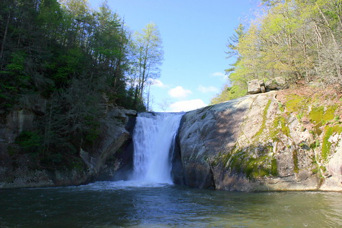
Elk Falls is an impressive waterfall in Avery County, North Carolina, about a stones throw from Tennessee. In fact, it's so close to the Tennessee border that I first heard of it when it was included in the Waterfalls of Tennessee book by Gregory Plumb. Quite a volume of water plunges 45 feet into the plunge pool below.

Getting there is rather easy: Take U.S. Highway 19E to Elk Park, NC. Follow the signs to Elk River Rd and then drive about 4 miles to the entrance of Pisgah National Forest. The road ends at a small parking lot, and from there it's about a 5 minute walk along a well developed trail to this vantage point.

Waterfalls do contain an element of risk, and several people have died here over the years, including a man in 2010 who either jumped off or fell off the top, plus another teen in 2007. The pool below is quite deep and apparently there is a strong current to pull under there.

Elk Falls (version B)

Sunday, August 9, 2015

Noccalula Falls park train

Noccalula Falls park train

Located in Gadsden, AL atop Lookout Mountain, Noccalula Falls is considered the biggest waterfall inside a city in America. With that in mind, a city park was built around the falls. In addition to the train, there is a garden and some zoo animals. The waterfall might be visible here if it weren't for that stone building on the right, as the gorge runs not too far on the other side of the train.

Saturday, July 11, 2015

Grace's High Falls - Lookout Mountain in Alabama

Grace's High Falls

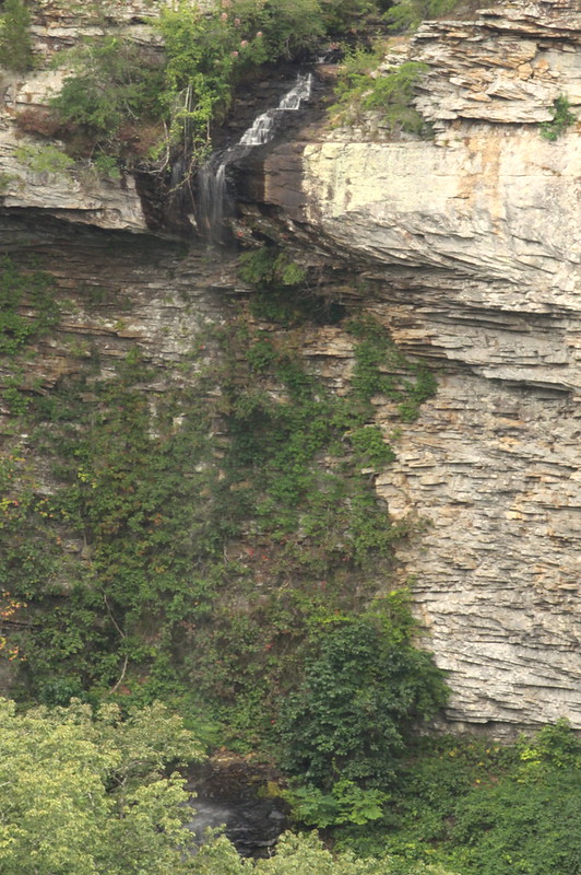
As Alabama's highest waterfall, Grace's High Falls is a 133 foot seasonal waterfall that cascades off the cliffs. (The falls do not usually flow much in the summer.) Located in the Little River Canyon National Preserve in Northeast Alabama, the observation deck is located across the canyon along the Little River Canyon scenic highway. You can see a video of this waterfall and others in DeKalb County here: youtu.be/SZTmOY8y6UM?t=5m41s

Thursday, June 18, 2015

Burgess Falls State Park

Burgess Falls State Park, Tennessee

Once providing the power for the city of Cookeville, This is the largest of three waterfalls along the Falling Water River along the Highland Rim.